AI for Mapping Water Resources in Arid and Semi-Arid Regions | AI untuk Pemetaan Sumber Daya Air di Wilayah Kering dan Semi-Kering
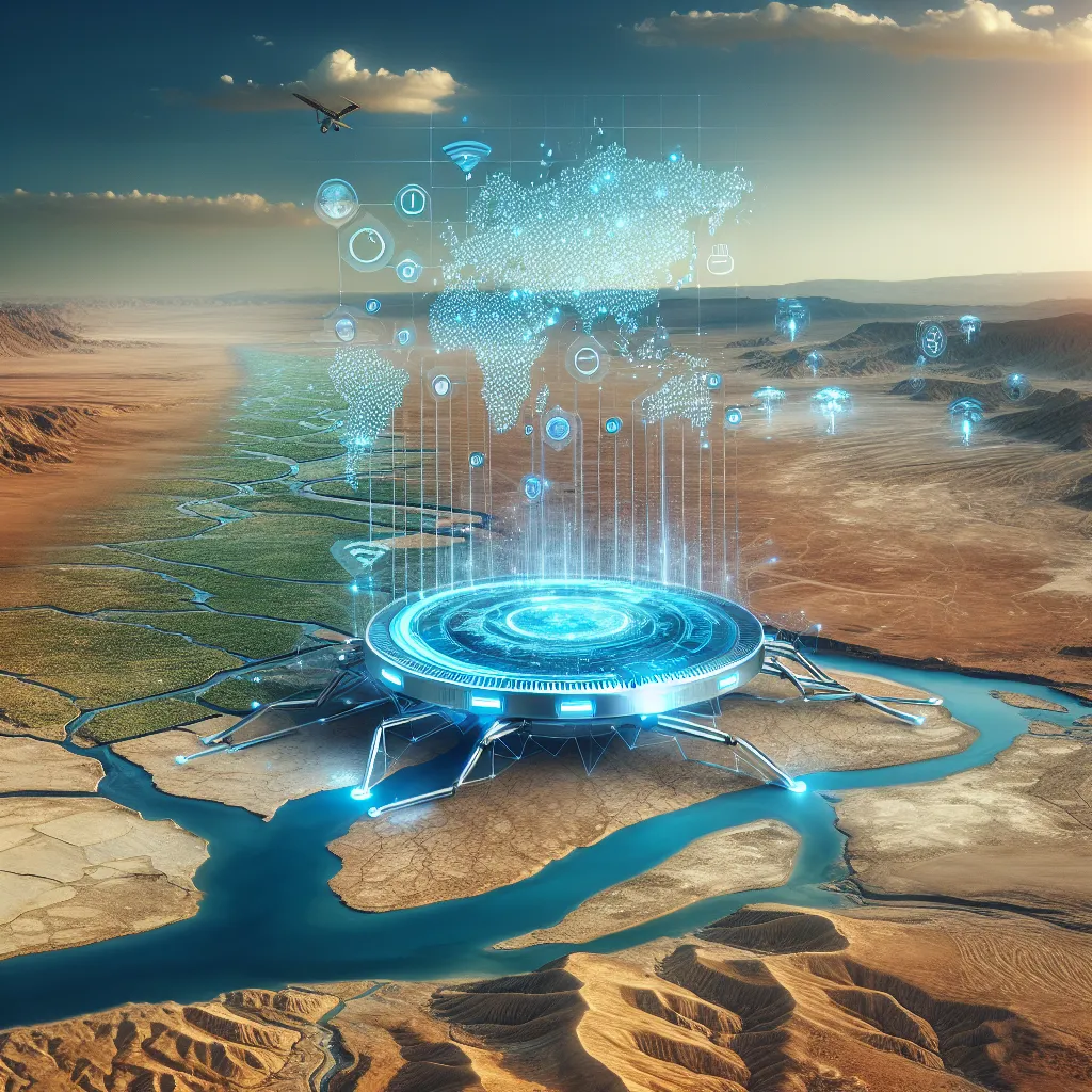
AI for Mapping Water Resources in Arid and Semi-Arid Regions | AI untuk Pemetaan Sumber Daya Air di Wilayah Kering dan Semi-Kering
Baca dalam Bahasa Indonesia AI for Mapping Water Resources in Arid and Semi-Arid Regions Understanding the Challenge: Water Scarcity in Arid and Semi-Arid Regions Water scarcity is a pressing issue that affects millions of people worldwide, particularly in arid and semi-arid regions. These areas, characterized by low rainfall and high evaporation rates, often struggle with limited freshwater resources. The consequences are dire: Diminished Agriculture: Farmers face challenges in growing crops, leading to food insecurity. [Read More]
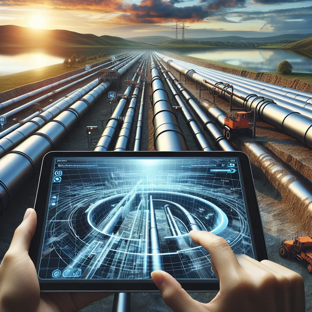
AR for Underground Pipeline Visualization | AR untuk Visualisasi Pipa Bawah Tanah

AR for Underground Pipeline Visualization | AR untuk Visualisasi Pipa Bawah Tanah
Baca dalam Bahasa Indonesia AR for Underground Pipeline Visualization In a world increasingly reliant on technology, the management of underground utilities, particularly pipelines, has become a complex challenge. Traditional methods of mapping and maintaining these essential infrastructures can lead to inefficiencies, miscommunication, and costly errors. The integration of Augmented Reality (AR) into pipeline visualization has emerged as a promising solution to streamline operations, enhance safety, and improve decision-making. The Problem Statement Underground pipelines are critical for transporting water, gas, sewage, and various other materials. [Read More]