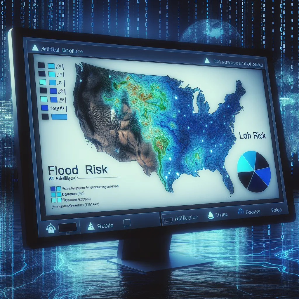
AI-Assisted Floodplain Mapping and Risk Analysis | Pemetaan Daerah Genangan dan Analisis Risiko yang Dibantu AI
Baca dalam Bahasa Indonesia AI-Assisted Floodplain Mapping and Risk Analysis Understanding the Problem: The Impact of Flooding Flooding is one of the most devastating natural disasters globally, causing extensive damage to infrastructure, ecosystems, and human life. The increasing unpredictability of weather patterns due to climate change has intensified flooding risks, particularly in regions with inadequate flood management systems.
Why Floodplain Mapping is Crucial Identification of Vulnerable Areas: Floodplain mapping helps identify areas that are prone to flooding, enabling better preparedness and risk mitigation.
[Read More]
